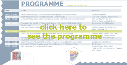
Below is the list of accepted papers
· Yutaka Yanagisawa. Predictive Indexing for Position Data of Moving
Objects in the Real World
· Seda Unal Calargun and Adnan Yazici. Fuzzy Association Rule Mining from
Spatio-Temporal Data.
· Niels Charlier, Guy De Tre, Sidharta Gautama and Rik Bellens. A twofold
fuzzy region model for imprecise quality control of geographic information
· Astrid Jurisch and David Mountain. Evaluating the Viability of PictometryR
Imagery for Creating Models of the Built Environment.
· Mikhail Kanevski, Vadim Timonin and Alexei Pozdnoukhov. Automatic Decision-Oriented
Mapping of Pollution Data
· Tomislav Hengl, Emiel E. van Loon, Henk Sierdsma and Beek-Ubbergen.
Advancing spatio-temporal analysis of ecological data: examples in R.
· Rudiger Gobel and Alexander Zipf. How to define 3D Geoprocessing Operations
for the OGC Web Processing Service (WPS)? Towards a Classification of 3D
Operations
· Ivan Lizarazo and Paul Elsner. Fuzzy Regions for Handling Uncertainty
in Remote Sensing Image Segmentation
· Arie Croitoru. Deriving and Mining Spatiotemporal Event Schemas in In-Situ
Sensor Data
· Pravesh Debba, Alfred Stein, Freek van der Meer, John Carranza and Arko
Lucieer. Field Sampling from a Segmented Image